The Vermont Fish & Wildlife Department owns many miles and hundreds of acres of land along rivers and streams throughout Vermont.
These lands tend to be relatively small and often long narrow parcels along the banks of these waterbodies. While some parcels have small, gravel parking areas, others provide no formal parking or rely on parking just off the road shoulder.
These areas provide public access to streambanks for fishing, hunting, trapping, fish and wildlife viewing, photography and other fish and wildlife-based activities. Collectively, these lands are known as Streambank Management Areas (SMAs).

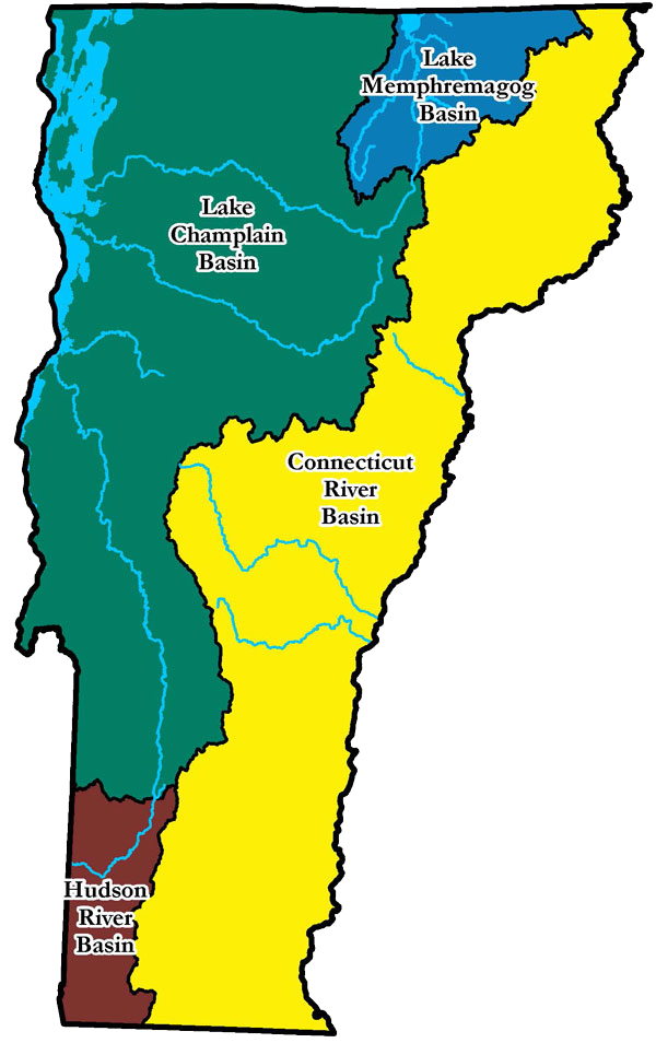
Lake Champlain Basin
- Lamoille River SMA | PDF
- Lewis Creek SMA | PDF
- Otter Creek SMA | PDF
- Winooski River SMA | PDF
Lake Memphremagog Basin
- Barton River SMA | PDF
- Black River SMA | PDF
- Clyde & Johns River SMA | PDF
- Willoughby River SMA | PDF
Connecticut River Basin
- Ottauquechee River SMA | PDF
- Wells River SMA | PDF
- White River SMA | PDF
Hudson River Basin
- Batten Kill SMA | PDF
